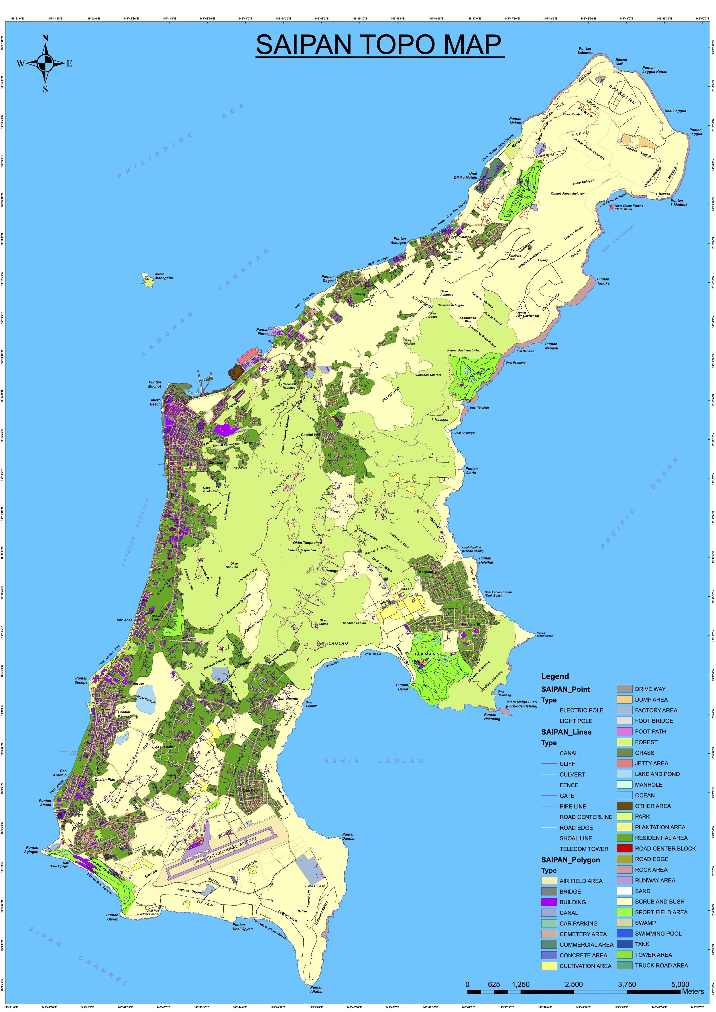
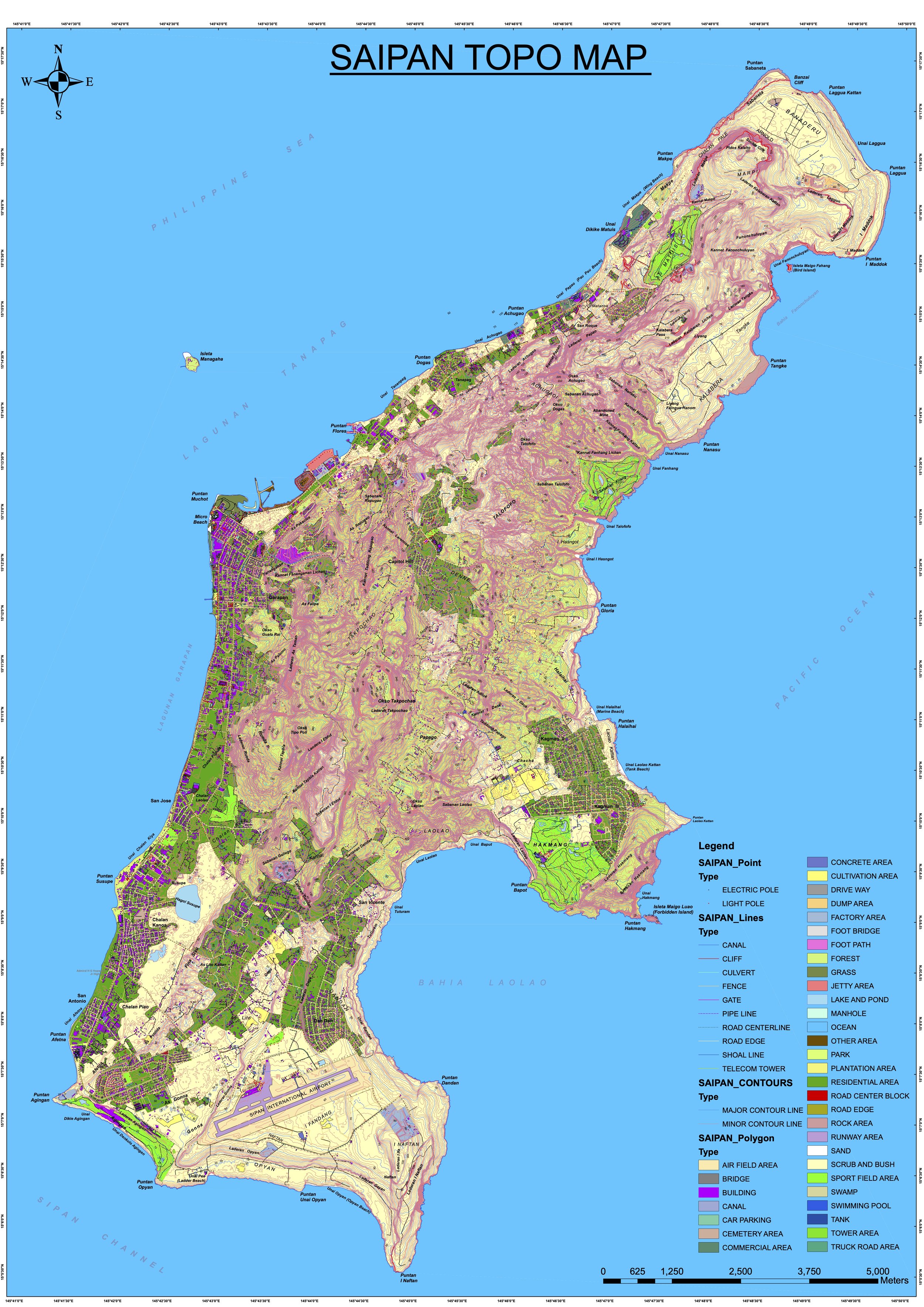
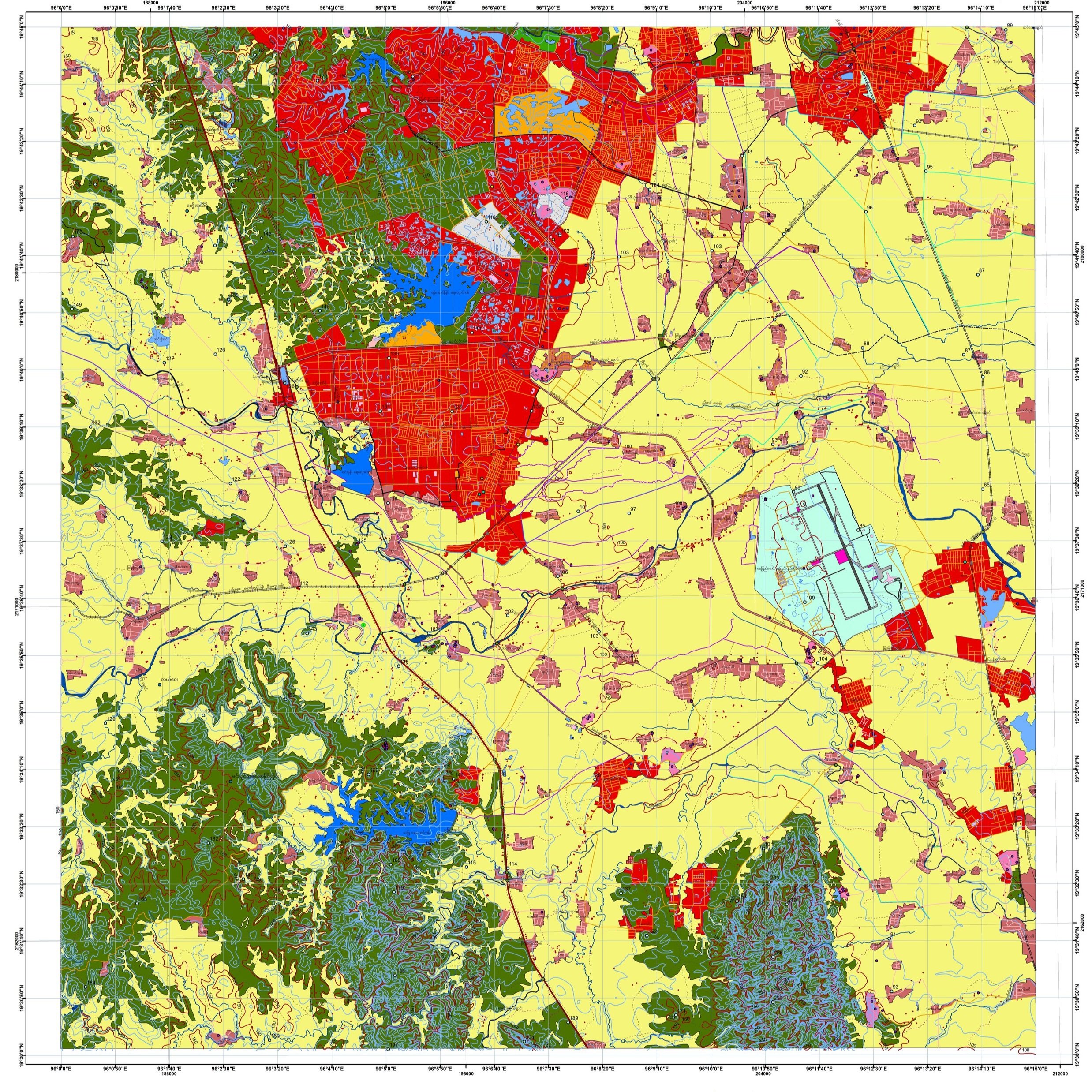
We offer fully integrated topographic mapping services.
Our expertise ranges from managing national-level topographic mapping projects, to acting within a technical consultancy or advisory capacity for such projects. We also provide topographic mapping services in a complete turnkey package.
With access to a highly-skilled network of surveyors, photogrammetrists and remote sensing experts, we can reliably collect and process topographic data for you.
Topographic
Mapping Services
Topographic Data Acquisition & Processing (via Satellite Imagery, LiDAR, GCP Survey)
GIS Data Capture
Planimetric Data as required by your project, including ecological or manmade topological attributes and general land cover mapping services.
Cartographic Editing
Producing high quality topographic maps (from 1:1000 to 1:50000)