
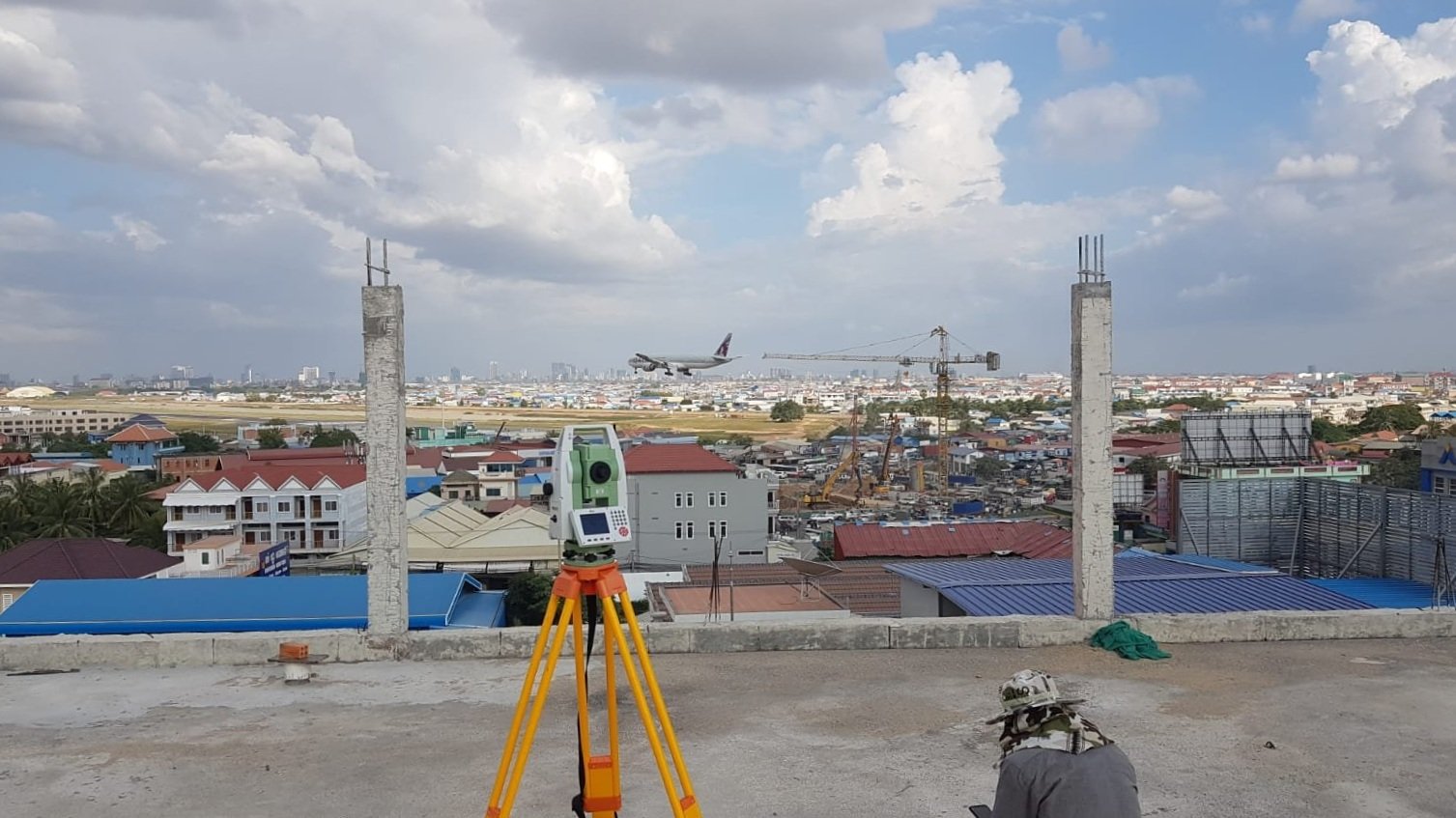
We can acquire and process electronic terrain and obstacle data for you.
Electronic Terrain and Obstacle Data (eTOD) covers all geospatial obstacle and terrain data related to the development of aircraft navigation systems and supporting airspace infrastructure.
Every international airport is required to meet the standards and recommended practices set out by the International Civil Aviation Organisation (ICAO) in Annex 14 and 15 on the provision of eTOD - and the EUROCONTROL Electronic and Terrain Data Manual - a guiding document to help stakeholders interpret and implement these required standards and practices.
Our eTOD products are delivered with the assurance that all datasets and the processes implemented to obtain them adhere fully to these global civil aviation requirements.
With a successful track record of completed eTOD projects for clients ranging from international airports to aeronautical navigational aid companies, our expert team will work alongside you to tackle any manner of eTOD surveying required for your project.
Electronic Terrain &
Obstacle Data (eTOD)

Our acquisitions process.
-
Satellite Imagery & Stereophotogrammetry
Our company offers a full range of high-quality digital photogrammetric capture services - from satellite to aerial photography - in our eTOD collection process.
We can acquire medium & high-resolution satellite imagery from which geo-referenced raster and vector maps can be produced.

-
Ground Control Point Surveys
During the eTOD collection process, our ground surveying team is deployed to carry out ground control point (GCP) collection surveys for the purposes of data rectificaiton and confidence level assessments.
With experience in surveying every manner of terrain and feature - our survey team will efficiently provide you with the most up-to-date, accurate obstacle data.

-
LiDAR Acquisitions
We provide the full range of our airborne laser scanning services for eTOD collection.
Through LiDAR we can acquire prescise obstacle data from laser point clouds at specified accuracy rates. From this data, we can output a complete range of digital modelling to meet your project’s data extraction needs.

Our experienced data post-processing team works with current, industry-standard software to quickly and accurately extract airport obstacle data from a range of sources, and then classify obstacle information for you in a structured eTOD database.


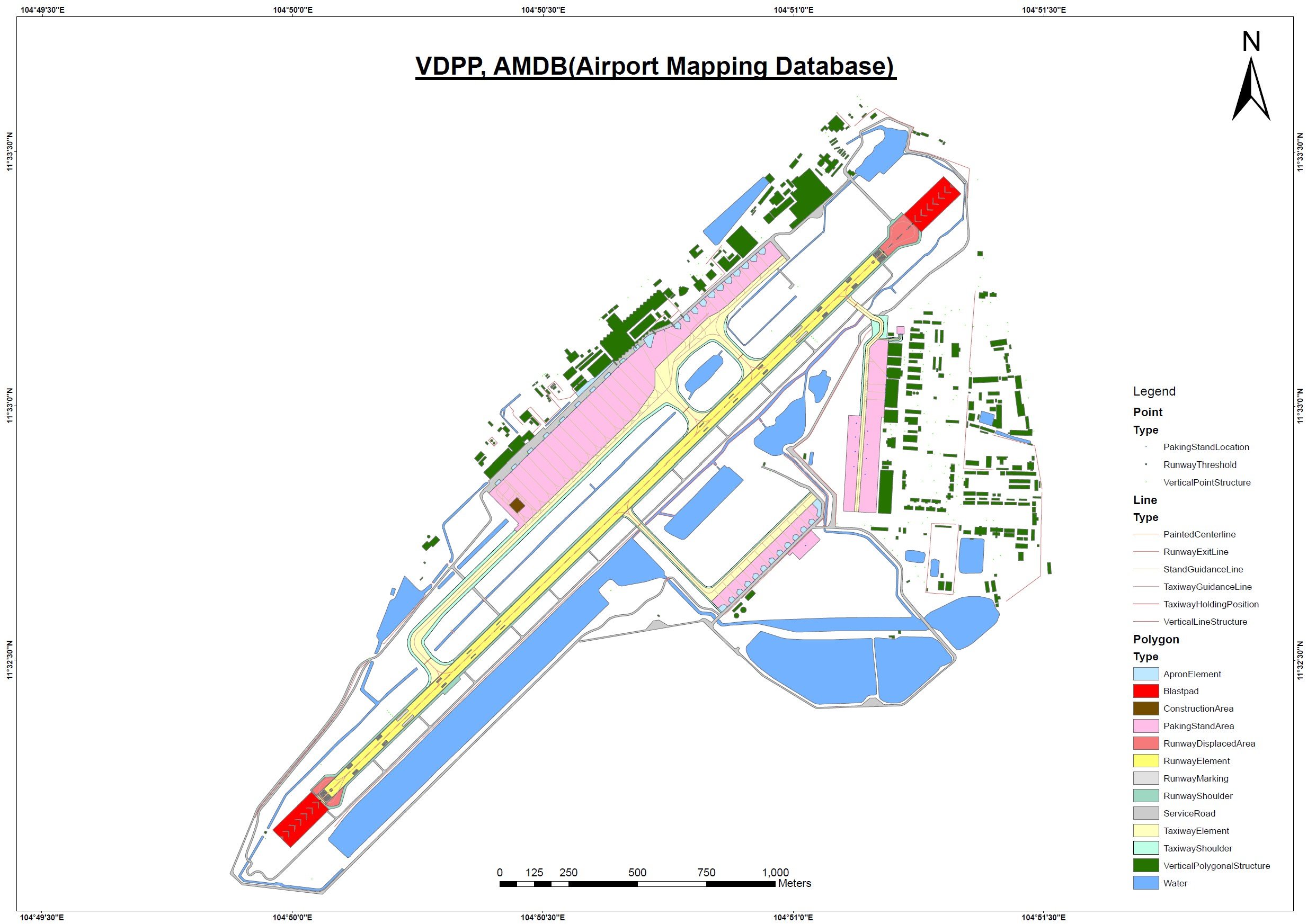
We also provide Airport/Aerodrome Mapping Databases (AMDB)
-
An airport or aerodrome mapping database (AMDB) is a database designed to ensure the safety and efficiency of all operations within an airport.
Accurate information of airport infrastructure such as runways, taxiways, parking stands and so on would be stored within an AMDB, as well as necessary safety mapping data of the local terrain and any potential obstacles present - from nearby buildings to vegetation.
The development of an AMDB is done so through drawing from existing airport datasets and acquiring new data through eTOD collection.
The number of methods relied upon is dependent on the size of your airport project.
Data is then structured into the required GIS with the final output being highly accurate, detailed map sets that comply with global aeronautical safety standards and specifications as determined by ICAO, the Federal Aviation Administration (FAA) and governments around the world
-
AMDBs are critical to the following operations, including: runway operations, aeronautical data and chart information, navigational aids (NAVAID) for on board applications, air traffic control & management, flight simulations (for training purposes), low visibility operations, aerodrome facility management, detection and alerting systems (for flight and airspace operations), and in standardised data storage (for aviation organisations, governments, airlines etc).